Notebooks
Resources
Pricing
Sign in
Get started
Fotis Zapantis
/
...
Public
Greek Maps and Administrative Boundaries
Compilation of Data available on Geodata.gov.gr and Intermediate Results of the FPCUP Appathon Challenge
Showing all
11
listings
1.
Greek Maps and Administrative Boundaries (1) - Counties
Fotis Zapantis
Sep 25, 2025
2.
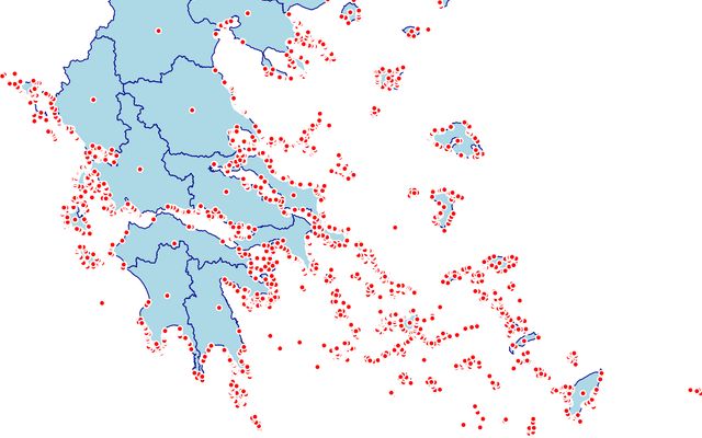
Greek Maps and Administrative Boundaries (8) - Hydrography
Fotis Zapantis
Dec 11, 2023
3.
Greek Maps and Administrative Boundaries (2) - Municipalities
Fotis Zapantis
Dec 11, 2023
4.
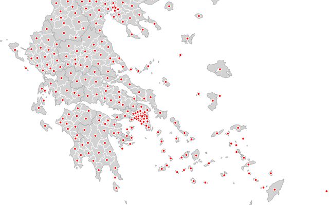
Greek Maps and Administrative Boundaries (3) - Public Buildings
Fotis Zapantis
Sep 23, 2025
5.
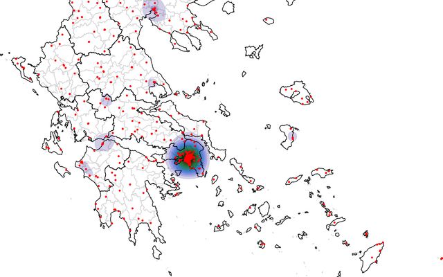
Greek Map and Administrative Boundaries (10) - Choropleth Evaluation
Fotis Zapantis
Dec 11, 2023
6.
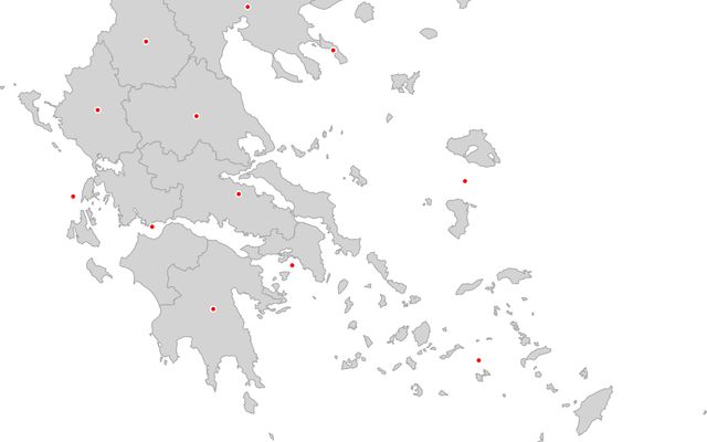
Greek Maps and Administrative Boundaries (4) - Civil Protection
Fotis Zapantis
Dec 11, 2023
7.
Greek Maps and Administrative Boundaries (7) - Forest Services
Fotis Zapantis
Dec 11, 2023
8.
Greek Map and Administrative Boundaries (9) - River Basins Districts/ Watersheds
Fotis Zapantis
Dec 11, 2023
9.
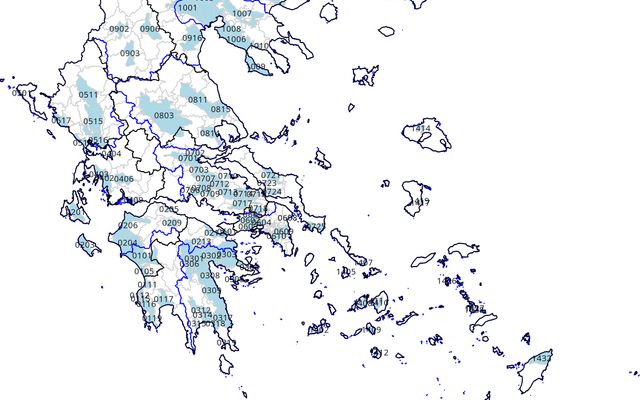
Greek Map and Administrative Boundaries (11) - Dams Contours
Fotis Zapantis
Dec 11, 2023
10.
Greek Map and Administrative Boundaries (12) - Dams Capacity Risk Assessment
Fotis Zapantis
Dec 11, 2023
11.
Greek Maps and Administrative Boundaries (6) - Groundwater
Fotis Zapantis
Dec 11, 2023