• Pricing
  • Get started
JAXA Earth API/...
Public

OpenLayers

Examples to display some satellite data on the OpenLayers
Showing all 4 listings
1.
thumbnail
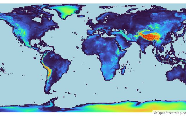
Digital Surface Model (JAXA AW3D) data on the OpenLayers
The avatar for @jaxa-earth
JAXA Earth API
Feb 3
2.
thumbnail
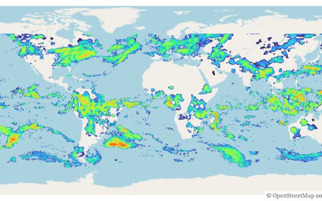
Global precipitation map (JAXA GSMaP) data on the OpenLayers This notebook is a fork
The avatar for @jaxa-earth
JAXA Earth API
Feb 3
3.
thumbnail
Sea Level Rise Simulator This notebook is a fork
The avatar for @jaxa-earth
JAXA Earth API
Feb 3•1
4.
thumbnail
Draw Hillshade Maps on the OpenLayers
The avatar for @jaxa-earth
JAXA Earth API
Apr 30, 2024
Platform
  • Observable Canvases
  • Observable Notebooks
  • Pricing
Docs
  • Observable
  • Observable Framework
  • Observable Plot
  • D3
  • Release notes
Resources
  • Blog
  • Webinars
  • Videos
  • Customer stories
  • Community Slack
  • Forum
Company
  • About
  • Careers
  • GitHub
LinkedInTwitterGitHubYouTube
© 2025 Observable, Inc.PrivacySecurityTerms of Service