Notebooks
Resources
Pricing
Sign in
Get started
JAXA Earth API
/
...
Public
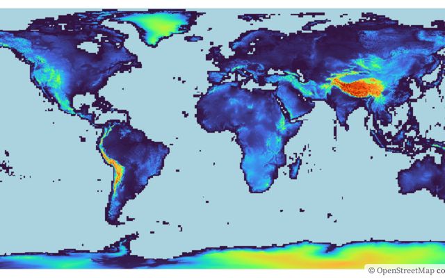
Terrain
Some examples about terrain
Showing all
7
listings
1.
Digital Surface Model - JAXA AW3D
JAXA Earth API
Jan 23, 2023
2.
Digital Surface Model (JAXA AW3D) data on the OpenLayers
JAXA Earth API
Jun 15
3.
Sea Level Rise Simulator
This notebook is a fork
JAXA Earth API
Jun 15
•
1
4.
Cross Section Shape of the Mt. Fuji - JAXA AW3D
JAXA Earth API
Jan 23, 2023
•
3
5.
Draw Hillshade Maps - JAXA AW3D
This notebook is a fork
JAXA Earth API
Apr 28, 2024
6.
Draw Hillshade Maps on the OpenLayers
JAXA Earth API
Apr 30, 2024
7.
Correlation between elevation and land surface temperature by using satellite data
JAXA Earth API
Jan 23, 2023
•
3