• Pricing
  • Get started
Web-based GIS /...
Public

Unit 4: Putting it all together

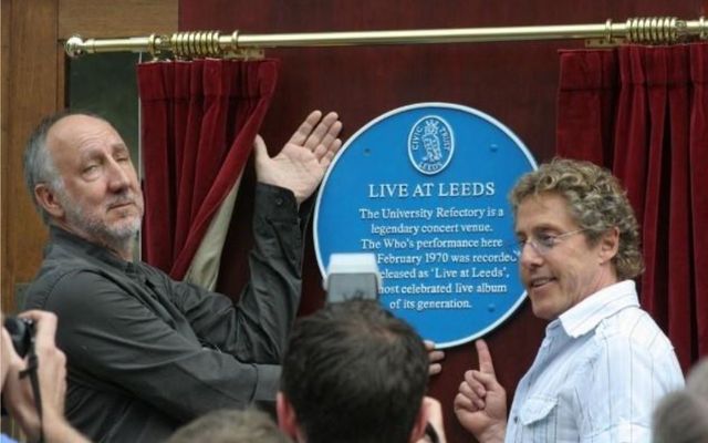
In this unit you will put the skills you have learnt so far into practice by creating a map of Blue Plaques in Leeds. We will: consider how to handle a 'messy' dataset & convert data into the correct projection for use in a web-based map.
Showing 1 listing
thumbnail
Unit 4: Putting it all together
The avatar for @web-based-gis
Web-based GIS
Oct 19
Platform
  • Observable Canvases
  • Observable Notebooks
  • Pricing
Docs
  • Observable
  • Observable Framework
  • Observable Plot
  • D3
  • Release notes
Resources
  • Blog
  • Webinars
  • Videos
  • Customer stories
  • Community Slack
  • Forum
Company
  • About
  • Careers
  • GitHub
GitHubLinkedInBlueskyYouTubeX
© 2025 Observable, Inc.PrivacySecurityTerms of ServiceVulnerability Disclosure