Public
Elections
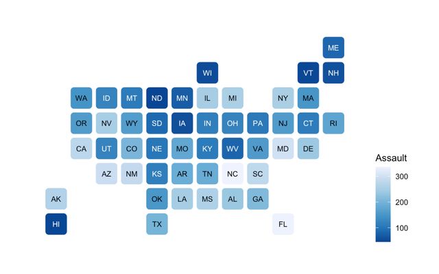
A selection of election-related data visualizations created by our community, the Observable Journalism Network, and our team. Explore maps, voter wait times, paths to victory, and more.
Showing 31-60 of 60 listings

Oct 28, 2020•5

Oct 26, 2020•12


Oct 21, 2020•200 4


Aug 15, 2020

Oct 17, 2020•3

Oct 16, 2020•8


Oct 21, 2020


Oct 19, 2020

Dec 10, 2019•18
Jul 16, 2025•102

Sep 2, 2020•1

Nov 7, 2018•4


A design challenge issued by @palewire and the subsequent responses

Aug 26, 2020•1

Jun 4, 2020

Dec 11, 2022•10


Oct 17, 2019•10

💻🔥 Maps and Data Visualizations related to U.S. elections developed on stream at www.codingwithfire.com

A collection of examples of US County based maps for reference and inpsiration

Aug 25, 2020•17

Jan 18, 2023•76 2

Oct 26, 2020•27 19

Oct 8, 2020•9
Showing 31-60 of 60 listings